ANALYSIS
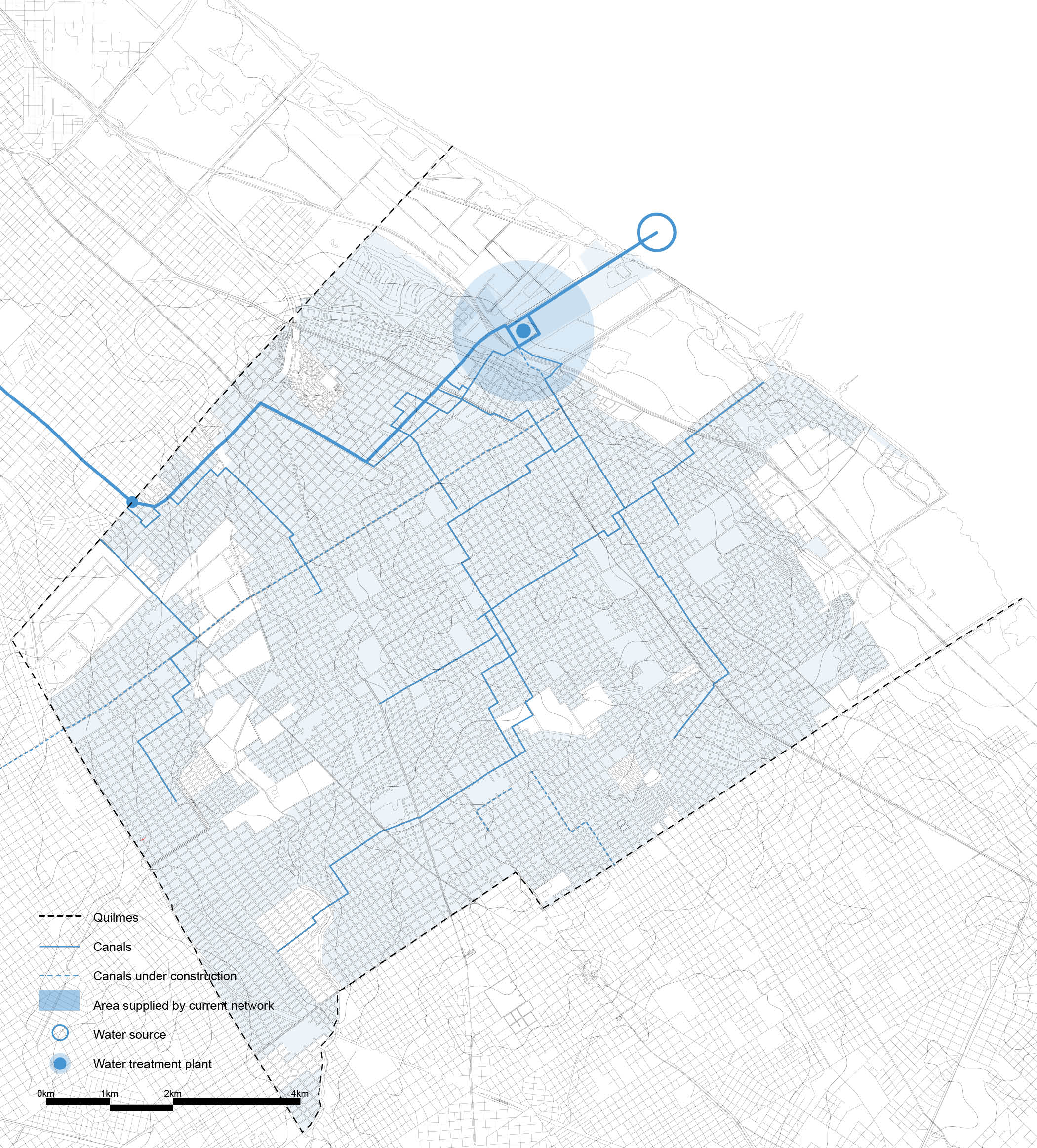
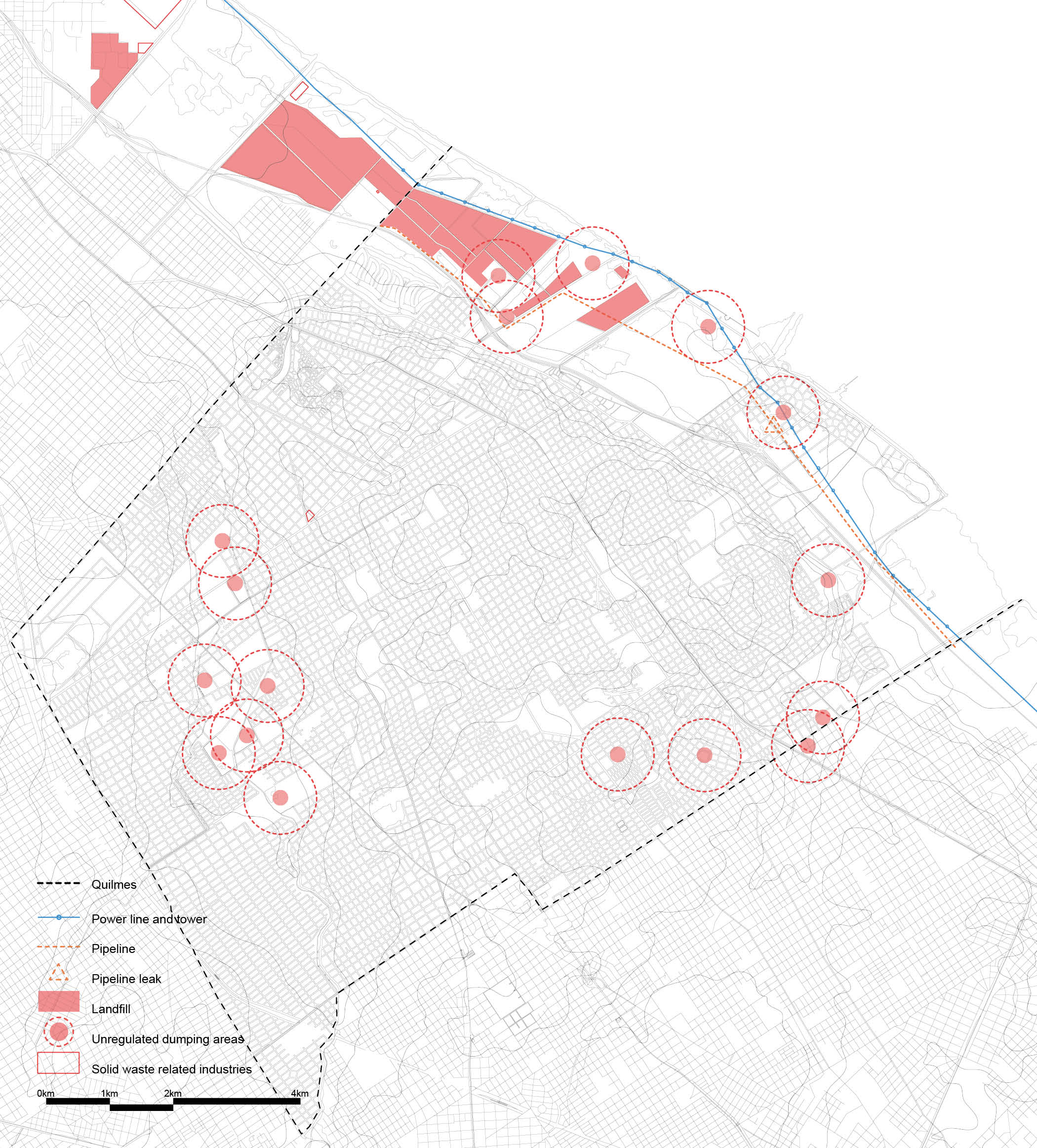
The study starts with an exhaustive analysis of the city of Quilmes. The city is mapped using various lenses to create catalogs of socio-ecological and infrastructural systems. Due to the geographical position of Quilmes and the high relevance of water courses in the city, these different maps are mostly based around water…
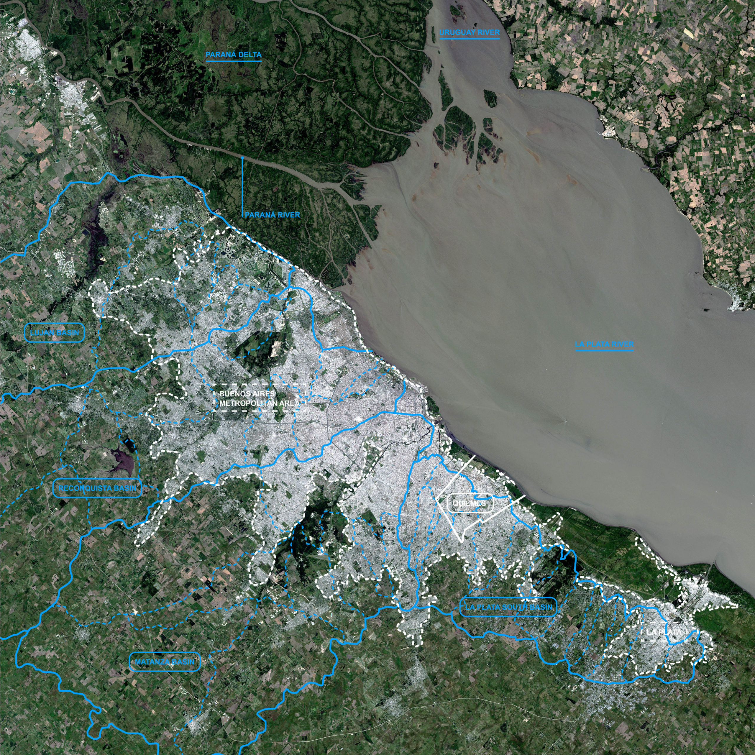
LA PLATA RIVER BASINS
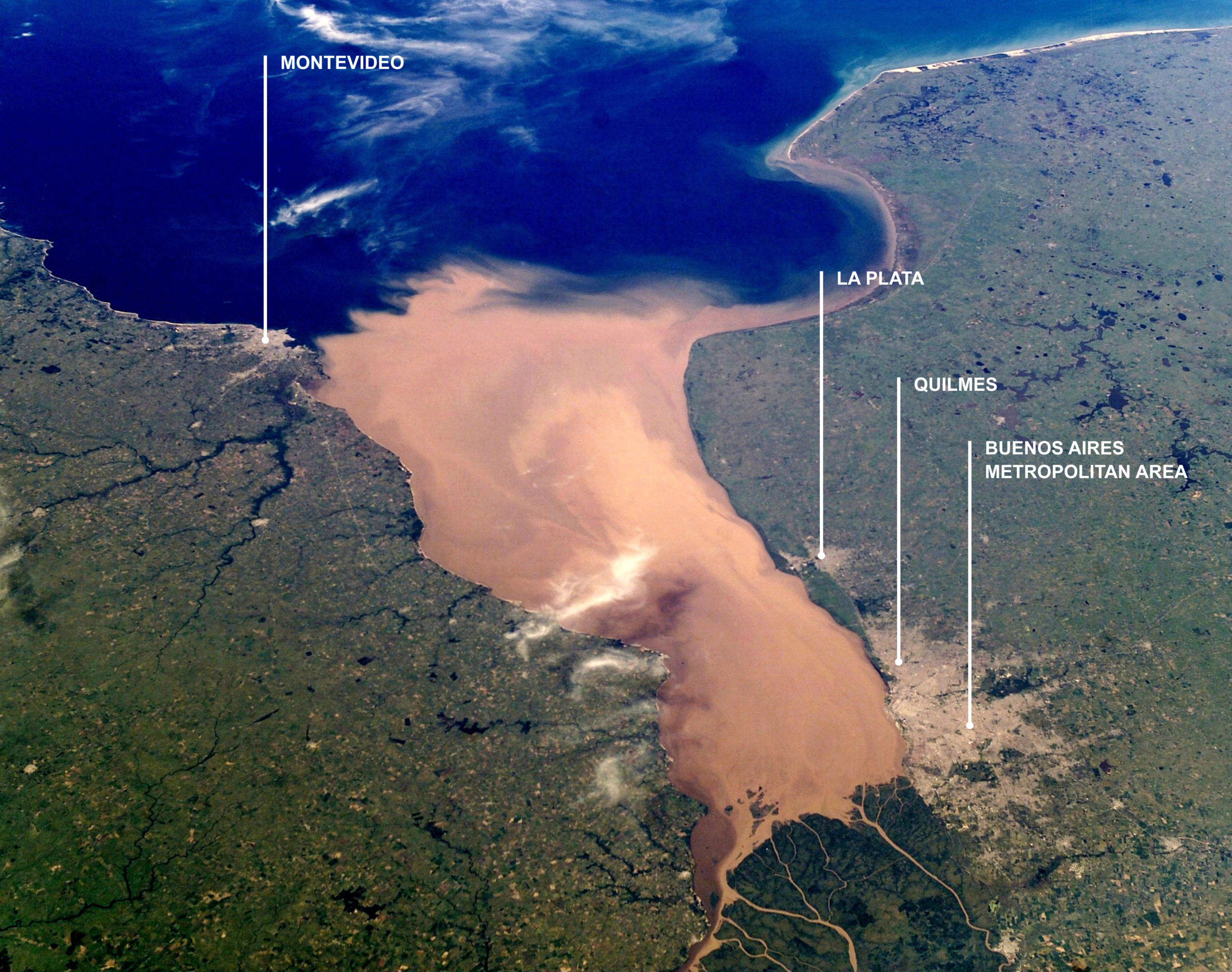
Quilmes is a city of 580,000 inhabitants within Buenos Aires Metropolitan Area (AMBA), the capital city of Argentina. This greater metropolis has a total population of around 15,600,000 people. It is located on the southern fluvial terrace of La Plata River, out of the Paraná and Uruguay rivers deltaic dynamics, in the northeastern coast of Argentina.
HISTORIC CONTEXT
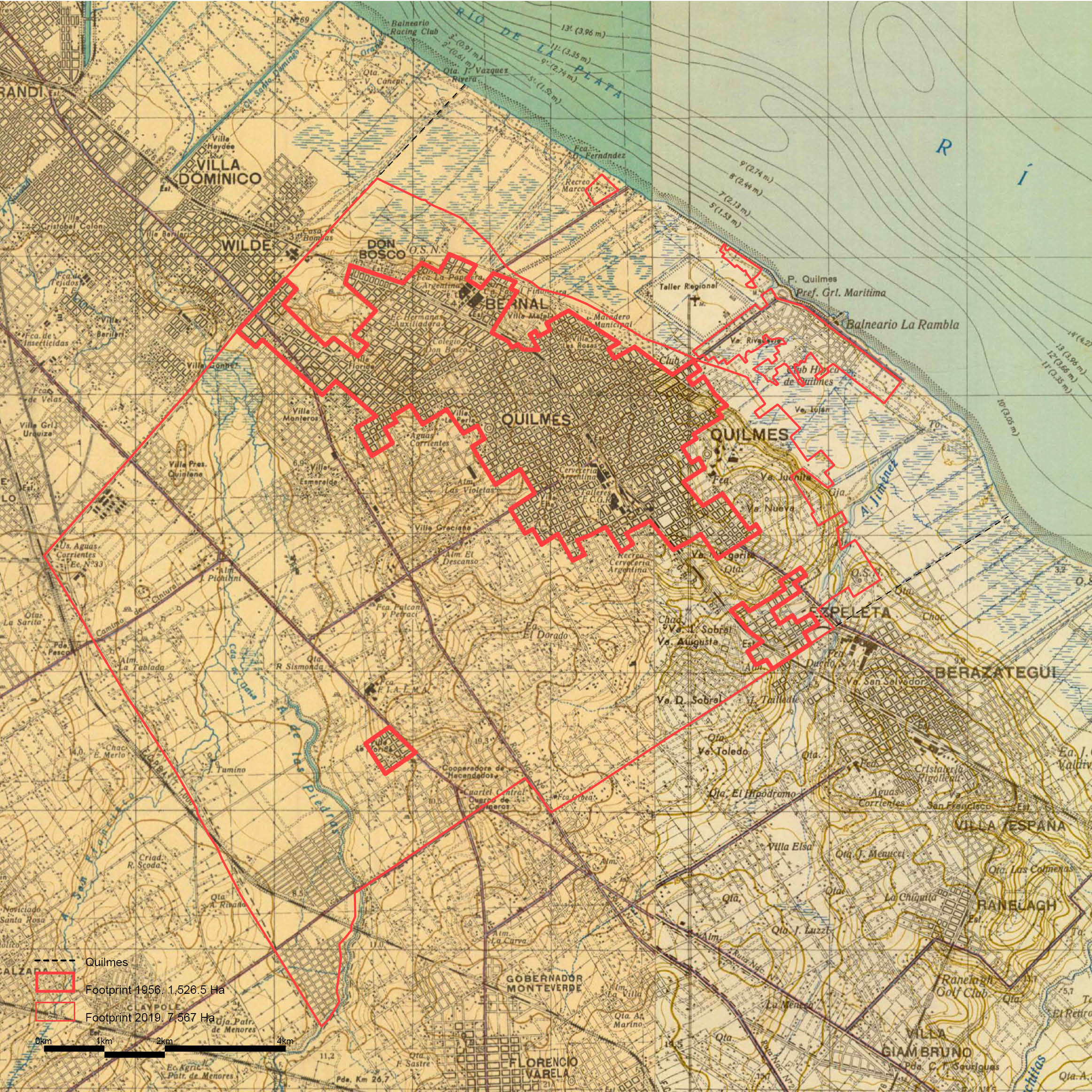
Quilmes was originally a small town settled on the highest grounds of a plateau and connected with the neighboring towns by a railway that went from Buenos Aires to the city of La Plata. The limits of the plateau are defined by the floodplain of La Plata River and the two arroyos that now cross the city, creating a pronounced slope locally known as ‘La Barranca’.
HYDROLOGICAL SYSTEMS
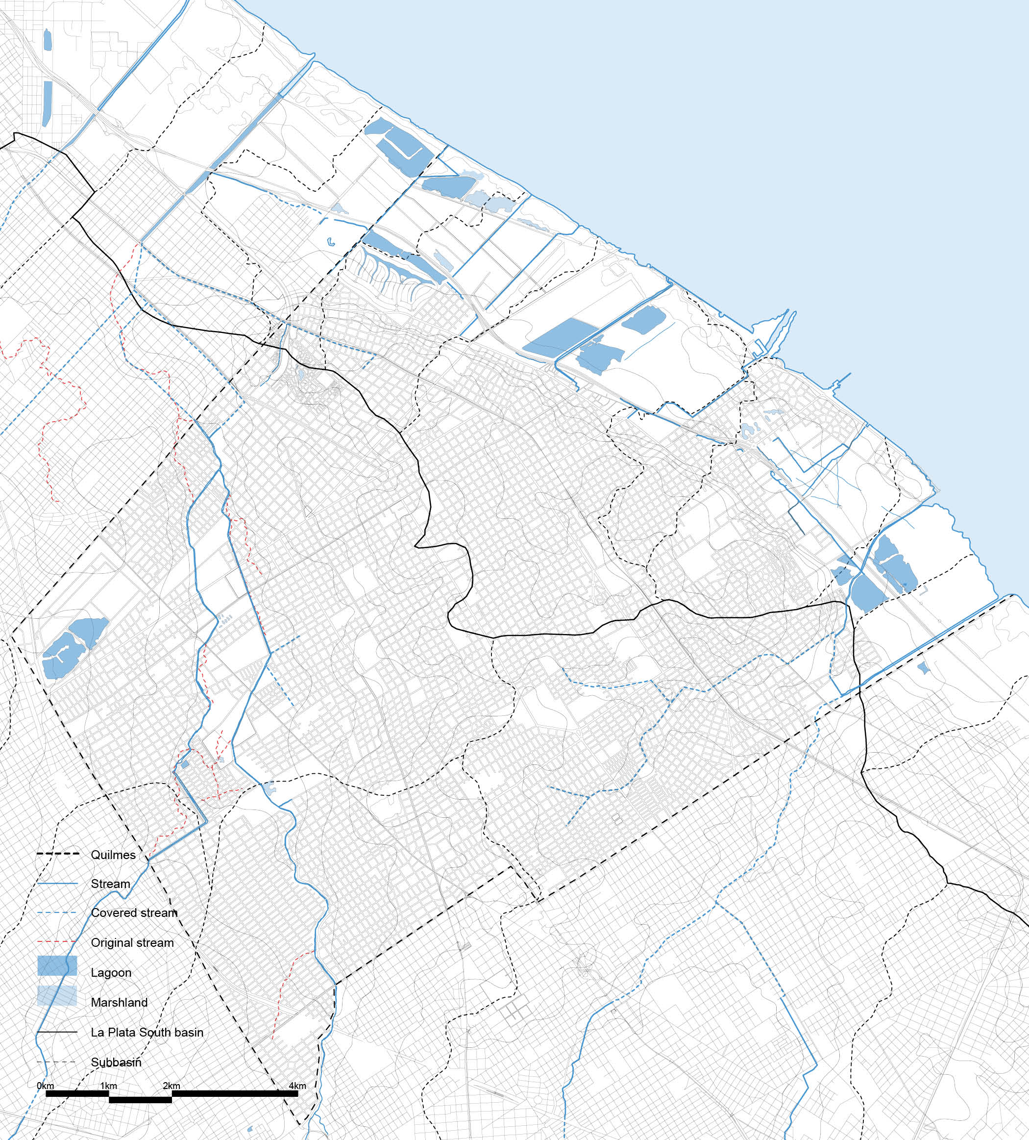
There are two arroyos that cross the city south-north and flow down to La Plata River after entering in Avellaneda. The streams have been channelled and covered in many cases and are severely polluted. The riverside has a marshland character with various lagoons which were excavations for the construction of the highway Buenos Aires – La Plata and shows high levels of pollution as well.
INFORMAL SETTLEMENTS AND FLOOD
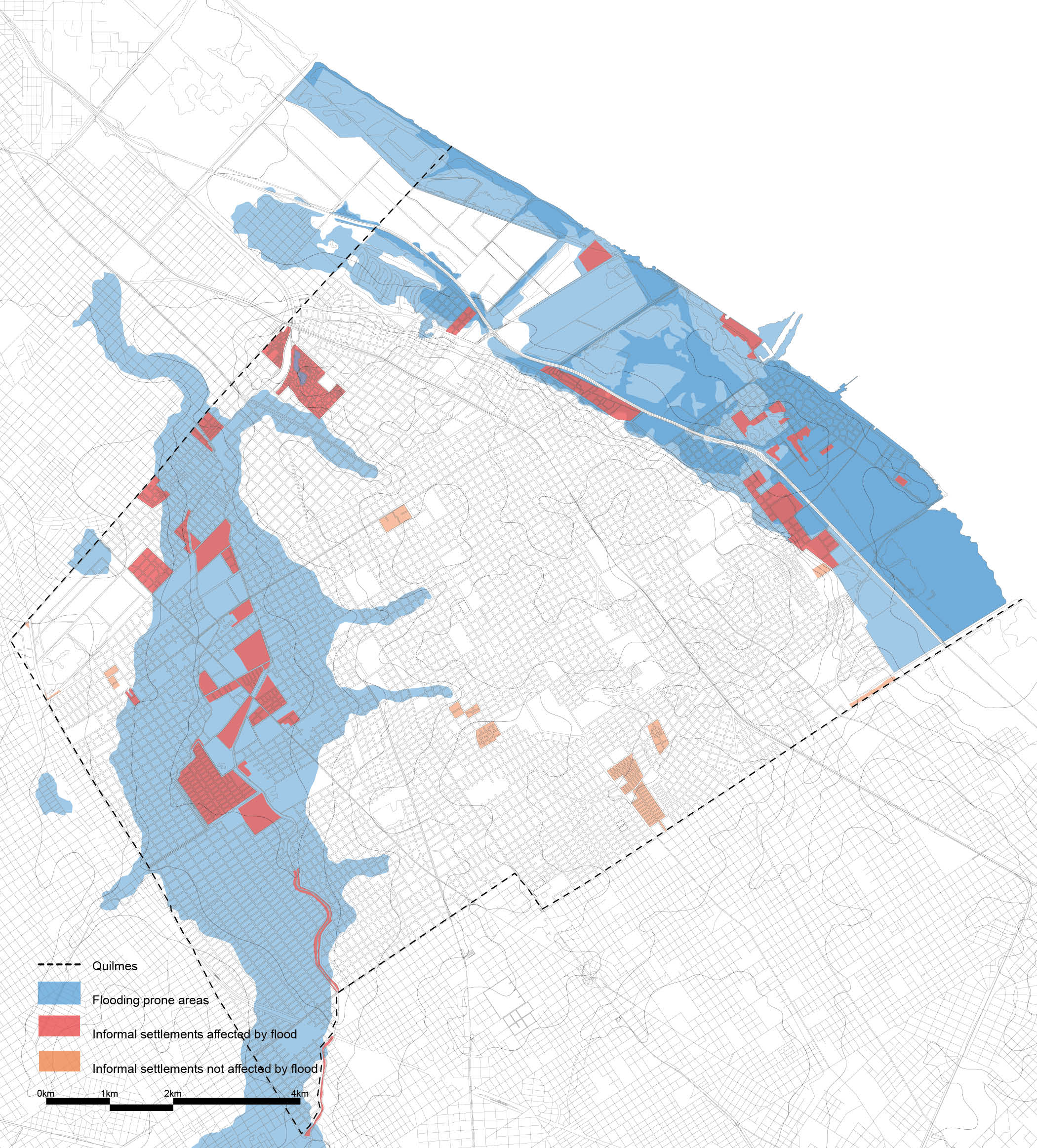
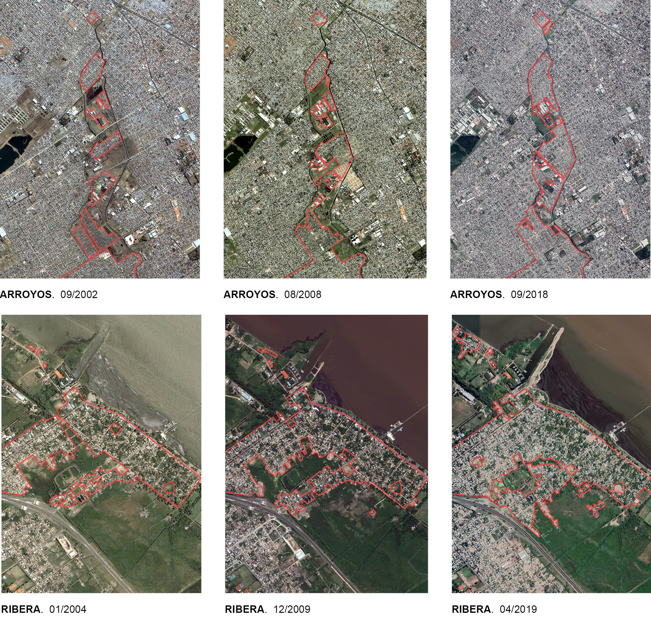
Around 150,000 people are living in informal settlements in Quilmes. Some of them are in extreme bad conditions, it is the case of the “villas”. These settlements are growing very fast in the last few years. Also, most of the settlements are found in the riverside and along the arroyos, reason for which they are exposed to constant floods.
URBAN SYSTEMS
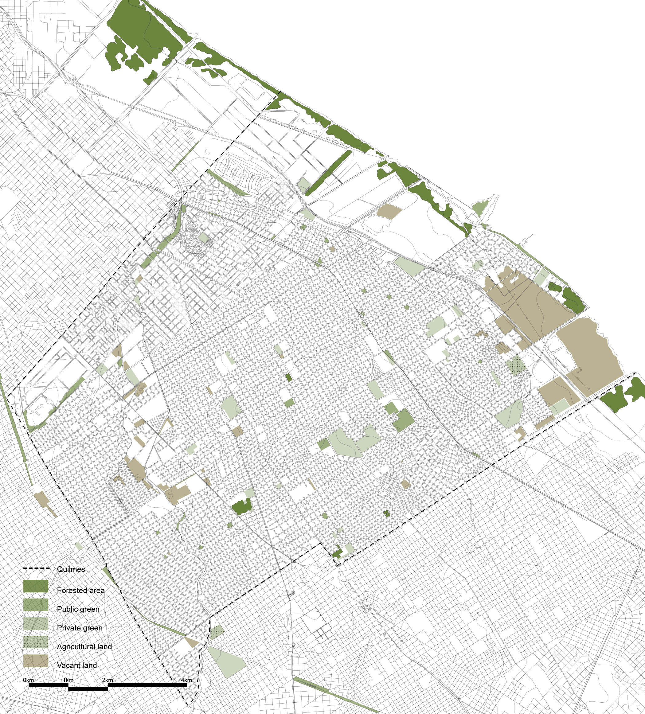
Together with water, the city is analyzed through three main urban systems: vegetation system, solid waste system and mobility system.

